
A series of Bering Sea storms will impact western Alaska this week, with elevated water levels, isolated coastal flooding, high surf, erosion, and strong winds. Heavy rain and snow are also expected for the West Coast into Interior Alaska. A multi-day flash flooding threat is forecast across parts of the southern High Plains and Southwest through the weekend. Surf remains high for Florida. Read More >
|
Current Conditions and Seven Day Forecast |
||
 |
| Current Conditions | Forecast | Severe Weather | Hydrology/Rivers | Winter Weather | Fire Weather | Safety |
** Give us feedback on our flood impact statements and flood inundation mapping **
** Send us your flooding reports **
Reservoir Forecasts--provided daily by the U.S. Army Corps of Engineers
 |
 |
 |
| Saylorville Lake Forecast | Related Information | Lake Red Rock Forecast | Related Information | Coralville Lake Forecast (NWS Quad Cities service area) | Related Information |
WPC Excessive Rainfall Outlook (ERO) Graphics
 |
 |
 |
| Day 1 | Day 2 | Day 3 |
 |
 |
| Day 4 | Day 5 |
Note: delays may exist for the below ERO graphics updates after the national ones.
 |
 |
 |
| Day 1 | Day 2 | Day 3 |
 |
 |
| Day 4 | Day 5 |
Iowa Environmental Mesonet (IEM) Graphics
Note: these graphics may update before the above WPC local graphics.
 |
 |
 |
| Day 1 | Day 2 | Day 3 |
 |
 |
| Day 4 | Day 5 |
 |
| ERO Category Information |
NWC Flood Hazard Outlook (FHO) Graphics
 |
| NWC Flood Hazard Outlook (FHO) |
Note: delays may exist for the below FHO graphics updates after the national ones.
 |
 |
 |
| Days 1-3 | Days 4-7 | Days 1-7 |
General Hazards Outlook Graphics
 |
 |
| Days 3-7 All Hazards Outlook | Days 8-14 All Hazards Outlook |
 |
 |
|
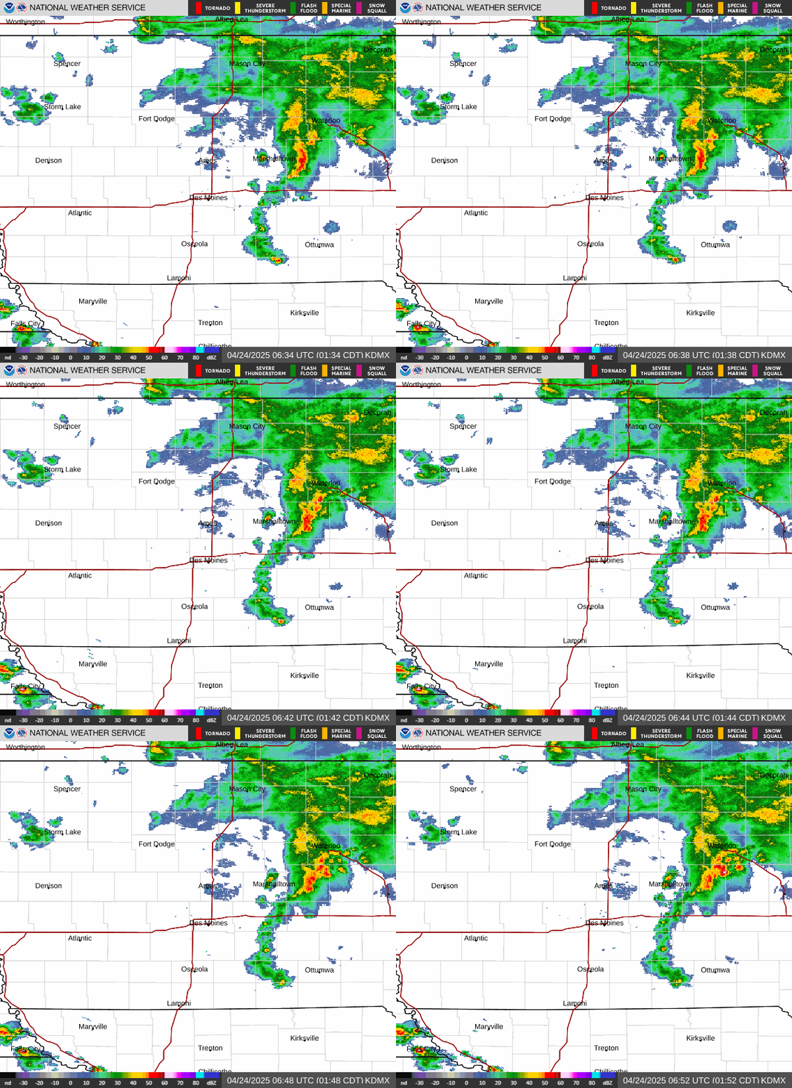
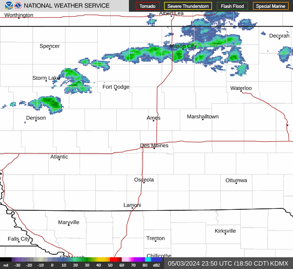
| NWS Radar Mosaic--Iowa | 1-Hour Quantitative Precipitation Estimates (QPE) (NWS Des Moines service area) | Storm Total Quantitative Precipitation Estimates (QPE) (NWS Des Moines service area) |
NCRFC Flash Flood Guidance (FFG) Graphics
Note: color scales may vary for the same FFG values.
 |
 |
 |
| 1 hour | 3 hour | 6 hour |
MBRFC Flash Flood Guidance (FFG) Graphics
Note: color scales may vary for the same FFG values.
 |
 |
 |
| 1 hour | 3 hour | 6 hour |
Iowa Environmental Mesonet (IEM) Flash Flood Guidance (FFG) Graphics
Note: color scales may vary for the same FFG values.
 |
 |
 |
| 1 hour | 3 hour | 6 hour |
NWS QPF Graphics (Mississippi River drainage)
Note: color scales may vary for the same QPF values.
 |
 |
 |
| Day 1 | Day 2 | Day 3 |
 |
 |
 |
| Days 1-3 | Days 1-5 | Days 1-7 |
NWS QPF Graphics (Missouri River drainage)
Note: color scales may vary for the same QPF values.
 |
 |
 |
| Day 1 | Day 2 | Day 3 |
 |
 |
 |
| Days 1-3 | Days 1-5 | Days 1-7 |
NWS WPC QPF Graphics (National)
Note: color scales may vary for the same QPF values.
 |
 |
 |
| Day 1 | Day 2 | Day 3 |
 |
 |
 |
| Days 1-3 | Days 1-5 | Days 1-7 |
 |
 |
 |
| Latest Drought Conditions (Iowa) | Latest Drought Conditions (Mississippi River Basin) | Latest Drought Conditions (U.S.) |
 |
 |
 |
| 12-Week (3-month) Change (Iowa) | 12-Week (3-month) Change (Mississippi River Basin) | 12-Week (3-month) Change (U.S.) |
CPC Temperature & Precip Outlook Graphics
 |
 |
| 6-10 Day Outlook (Temperature) | 6-10 Day Outlook (Precipitation) |
 |
 |
| 8-14 Day Outlook (Temperature) | 8-14 Day Outlook (Precipitation) |
 |
 |
| 3-4 Week Outlook (Temperature) | 3-4 Week Outlook (Precipitation) |
 |
 |
| 1-Month Outlook (Temperature) | 1-Month Outlook (Precipitation) |
 |
 |
| 3-Month Outlook (Temperature) | 3-Month Outlook (Precipitation) |
CPC Drought Outlook Graphics
 |
 |
| U.S. Monthly Drought Outlook | U.S. Seasonal Drought Outlook |


 Follow us on X
 Follow us on Facebook
 Follow us on YouTube
 DMX RSS Feed