National Weather Service United States Department of Commerce
Image

Bering Sea Storms for Alaska; Multi-Day Heavy Rain Event for the Southern Plains and Southwest

A series of Bering Sea storms will impact western Alaska this week, with elevated water levels, isolated coastal flooding, high surf, erosion, and strong winds. Heavy rain and snow are also expected for the West Coast into Interior Alaska. A multi-day flash flooding threat is forecast across parts of the southern High Plains and Southwest through the weekend. Surf remains high for Florida. Read More >

Latest US SPC Day 1 Convective Outlook, Current Watches, and Radar
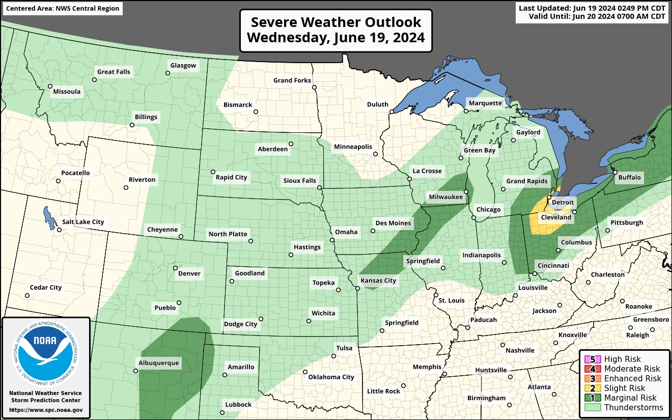
SPC Day 1 Convective Outlook
SPC Day 1 Tornado Outlook
SPC Day 1 Hail Outlook
SPC Day 1 Wind Outlook
SPC Day 2 Categorical Outlook
SPC Day 2 Probabilistic Outlook
SPC Day 3 Categorical Outlook
SPC Day 3 Probabilistic Outlook
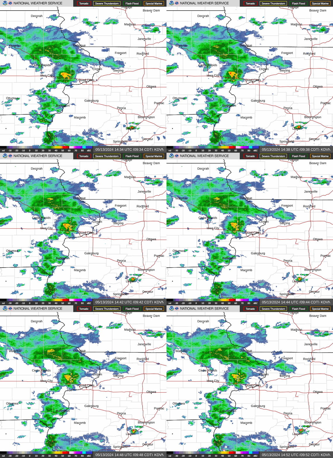
Upper Midwest Radar Loop
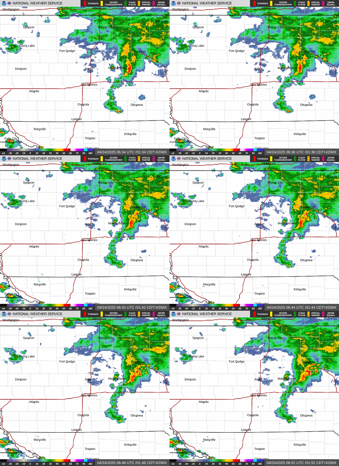
Central Iowa Radar Loop
West Central Iowa Radar Loop
Northwest Iowa Radar Loop
Far Northern Iowa Radar Loop
Northeast Iowa Radar Loop
East Central Iowa Radar Loop
Far Southern Iowa Radar Loop
Central Plains Visible Satellite Image
Central Plains Infrared Satellite Image
Central Plains Water Vapor Satellite Image
Continental United States Visible Satellite Image
Continental United States Infrared Satellite Image
Continental United States Water Vapor Satellite Image
 
 
National DSS Page

Latest Watches and Warnings

Storm Prediction Center Day One Severe Thunderstorm Outlook
Central Iowa Watches and Warnings Map
US SPC Day 1 Convective Outlook, Current Watches, and Radar


SPC Convective Outlooks Image

Day 1
Outlook

Text
Day 1 Convective Outlook
Categorical Outlook
Day 1 Tornado Outlook
Tornado Probabilistic Outlook
Day 1 Hail Outlook
Hail Probabilistic Outlook
Day 1 Wind Outlook
Wind Probabilistic Outlook

Day 2
Outlook

Text
Day 2 Convective Outlook
Categorical Outlook
Day 2 Tornado Outlook
Tornado Probabilistic Outlook
Day 2 Hail Outlook
Hail Probabilistic Outlook
Day 2 Wind Outlook
Wind Probabilistic Outlook

Day 3
Outlook

Text
Day 3 Convective Outlook
Categorical Outlook
Day 3 Probabilistic Outlook
Probabilistic Outlook
Day 4-8
Outlooks

Text

Image

Day 4

Image

Day 5

Image

Day 6

Image

Day 7

Image

Day 8


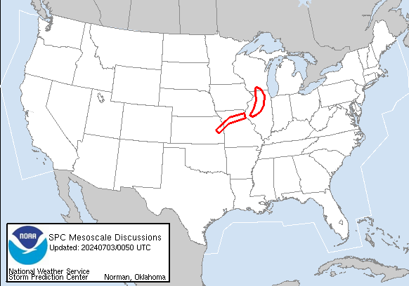
Latest Mesoscale Discussions and Watch Map Image

Image
Image

Current Mesoscale Discussions
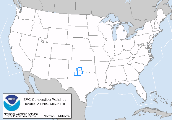
Valid WW Image
Image

Current Severe Weather Watches

Radar and Satellite

Central Iowa Radar Image
Central Iowa Radar Loop
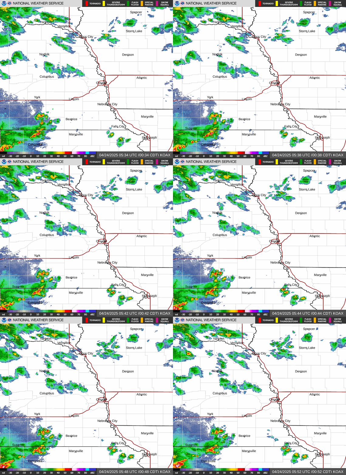
West Central Iowa Radar Image
Omaha
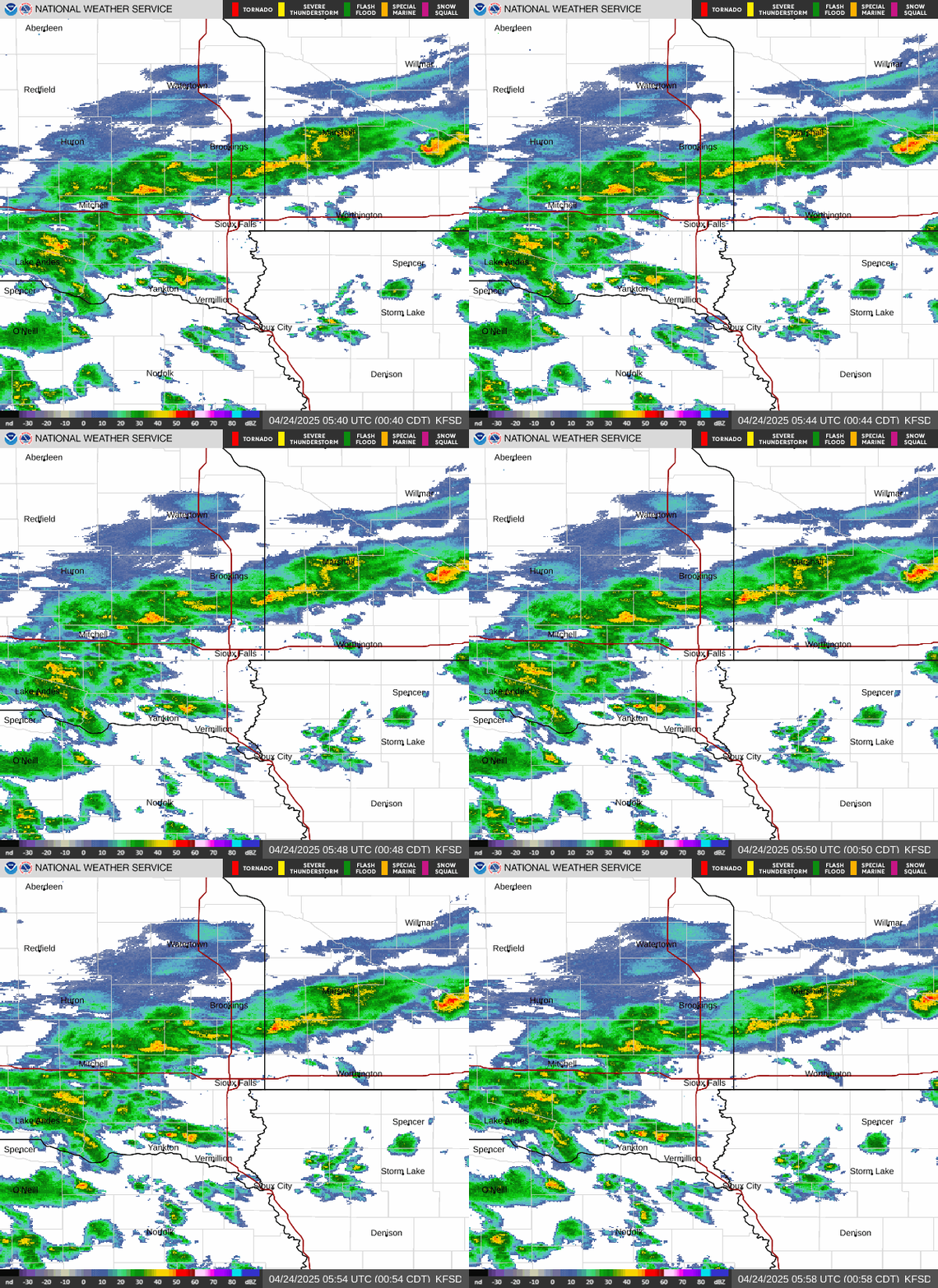
Northwest Iowa Radar Image
Sioux Falls
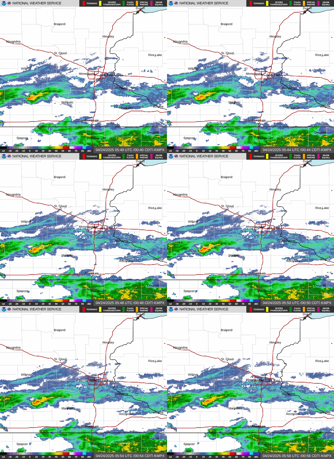
Far Northern Iowa Radar Image
Minneapolis
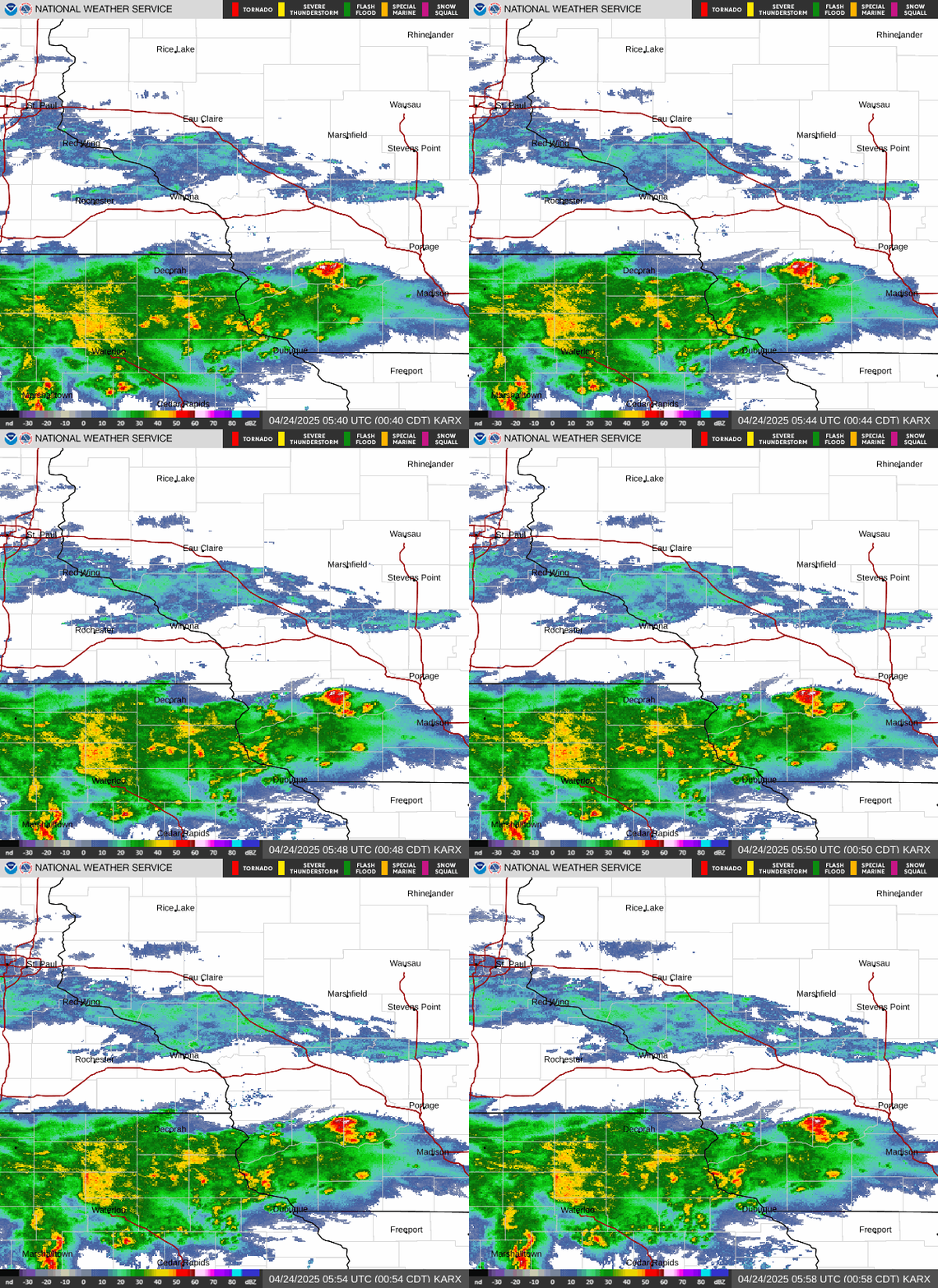
Northeast Iowa Radar Image
La Crosse
East Central Iowa Radar Image
Davenport
Far Southern Iowa Radar Image
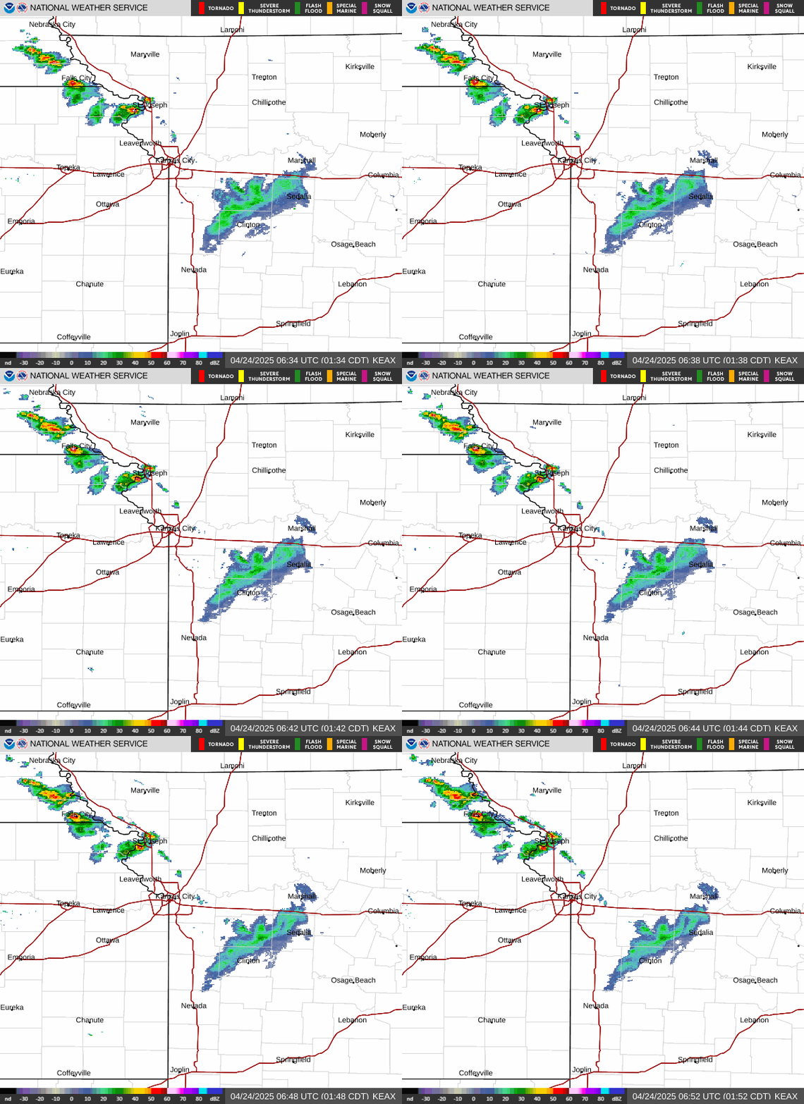
Kansas City


Central Plains Visible Satellite Image
Upper Midwest Visible Satellite Image (Loop)  Image
Central Plains IR Satellite Image
Upper Midwest Infrared Satellite Image (Loop)  Image
Central Plains Water Vapor Satellite Image
Upper Midwest Water Vapor Satellite Image (Loop)  Image
US Visible (Loop) US Visible Satellite Image
US Infrared (Loop) US Infrared Satellite Image
US Water Vapor (Loop) US Water Vapor Satellite Image

Local Storm Reports Image

Image

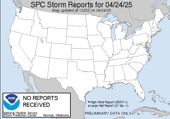
Today's Local Storm Reports
Image

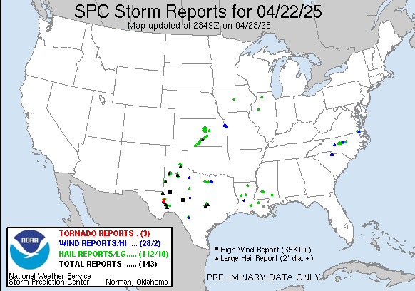
Yesterday's Local Storm Reports

Additional Information